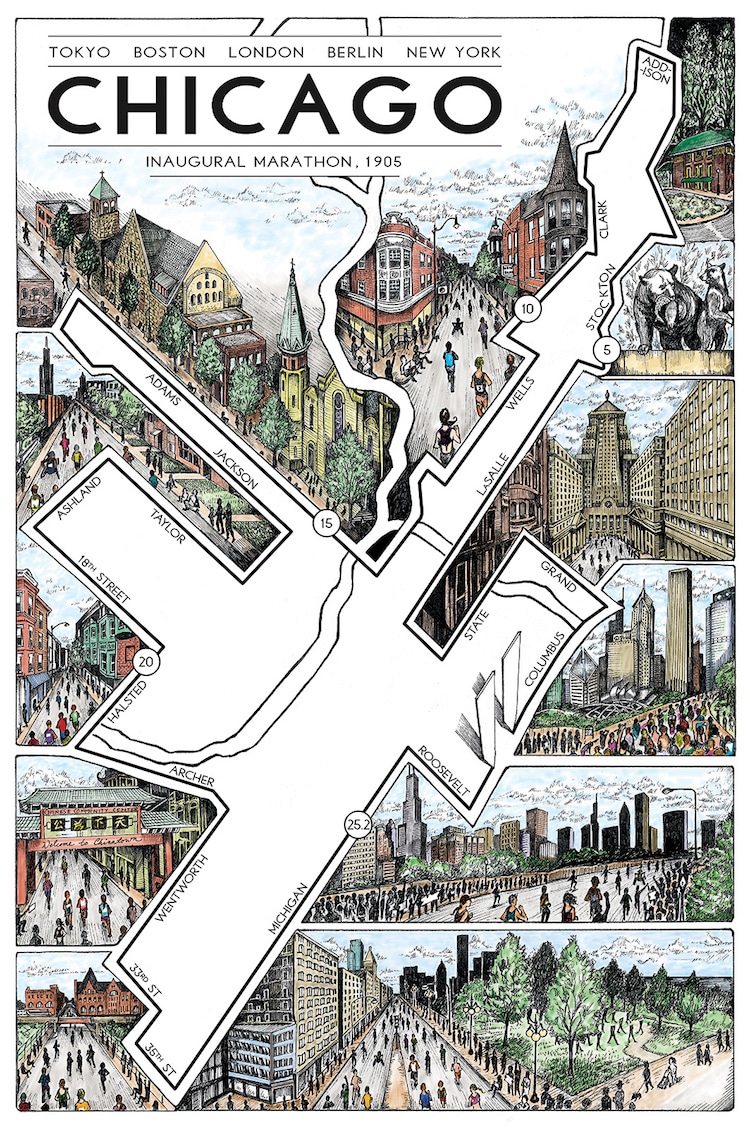
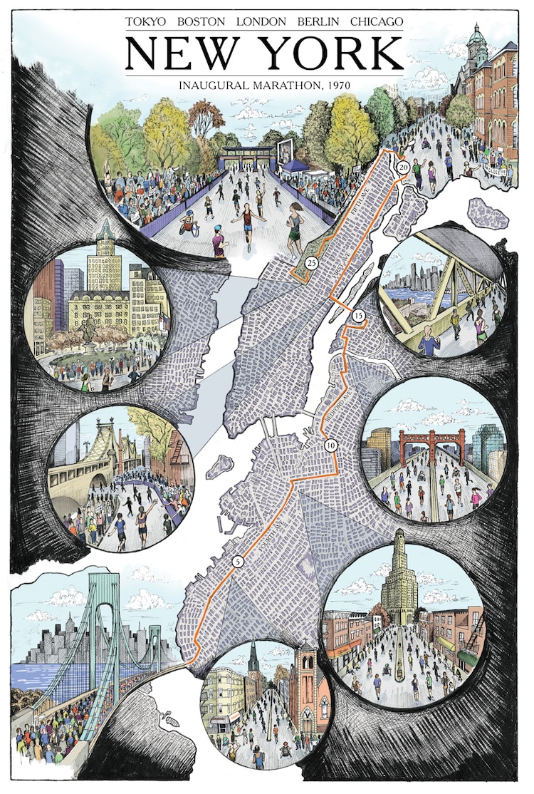
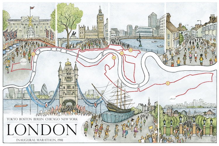
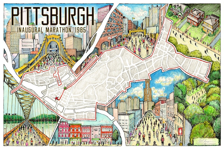
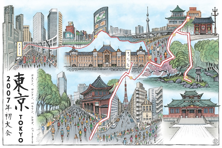
Phil Thompson is an illustrator “who also happens to love running.” His dedication goes the distance (literally) and he has completed one of the most challenging types of races—the marathon. It was during the first of these competitions that he got the idea to create his own illustrated marathon map. Running through the streets of Chicago, “I wanted to help runners ‘relive’ the course,” he tells My Modern Met in an email, “and help non-runners see the big landmarks from the runner’s points of view.”
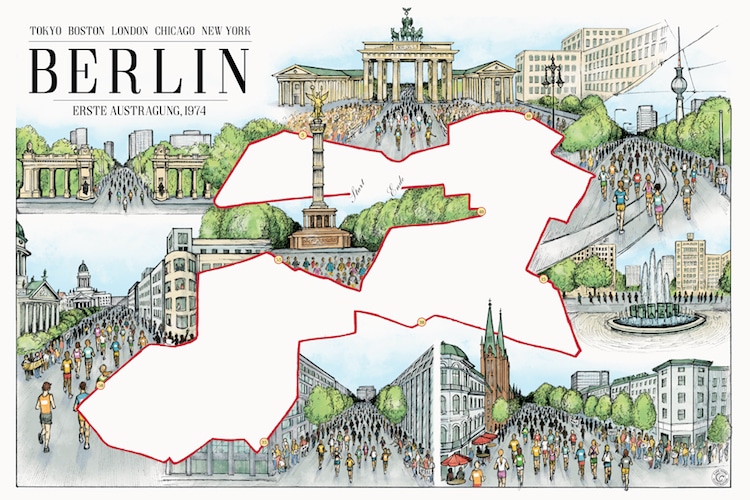
Through his studio Cape Horn Illustration, Thompson has drawn routes of marathons including Tokyo, Berlin, New York, and the most prestigious of them all, Boston. These running maps aren’t to scale by any means, but that’s not the point of Thompson’s drawings. They are meant to convey the essence of these races, from the most famous parts of the course to the various landscapes runners venture through on their way to the finish line. By getting an insider’s look at the marathons, it might just inspire you to lace up your shoes and go for a run.
Thompson sells his marathon maps through the Cape Horn Illustration print shop.
Phil Thompson depicts different marathons around the world through map illustration.
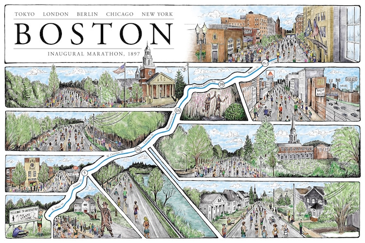
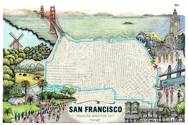
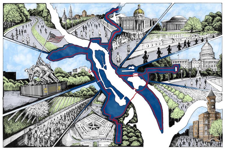
“I wanted to help runners ‘relive’ the course and help non-runners see the big landmarks from the runner’s points of view.”
 Cape Horn Illustration: Website | Instagram | Facebook
My Modern Met granted permission to use images by Phil Thompson.
Related Articles:
Edible Chocolate City Maps Modeled After Beloved Streets Around the World
Artistic Maps of Pakistan and India Show Embroidery Techniques of Each Region
Ingenious Jacket Keeps Cyclists Safe and Stylish with Reflective Map Fabric
