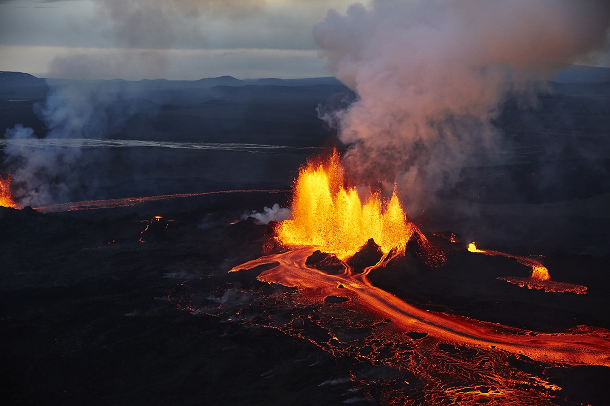
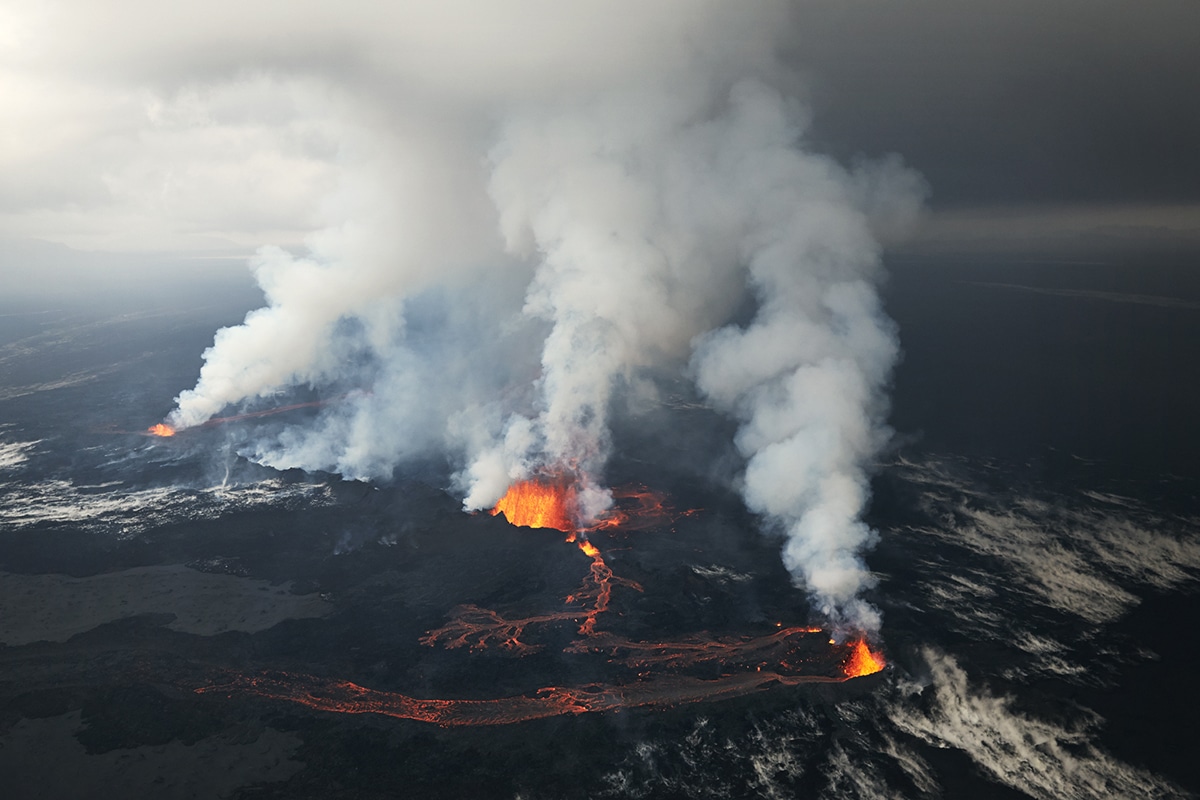
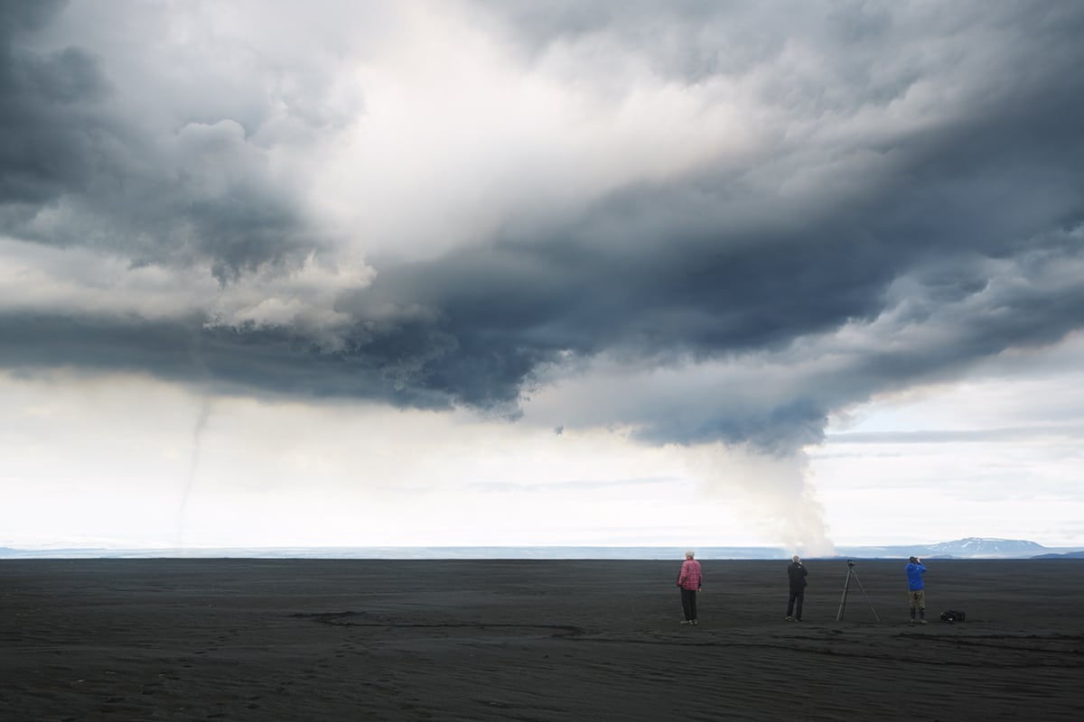
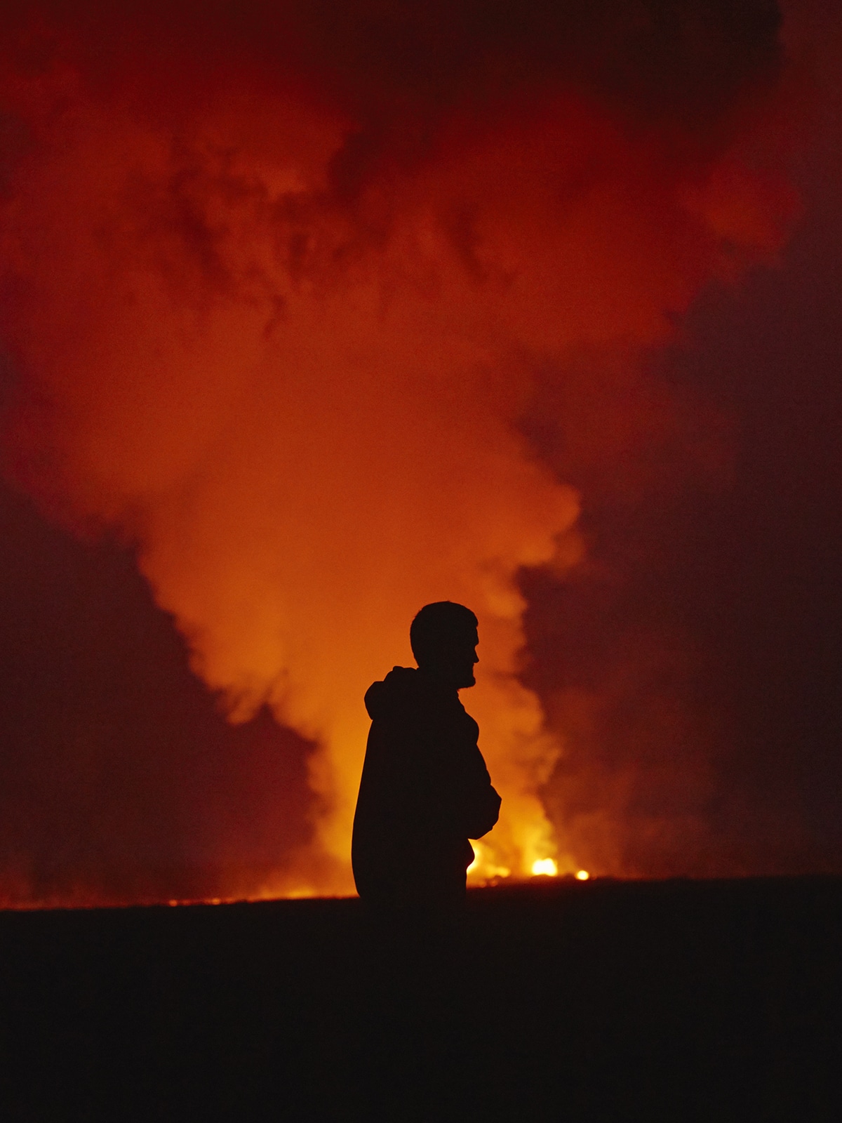
Born and raised in Reykjavík, photographer Axel Sigurðarson was lucky enough to grow up exploring the magnificent Icelandic Highlands—a location that many landscape photographers only dream of. On a road trip to Holuhraun, a large lava field just north of the Vatnajökull ice cap, Sigurðarson managed to capture the spectacular eruption of Bárðarbunga. It was the largest volcanic eruption in Iceland since 1783, which lasted from August 29, 2014 to February 27, 2015.
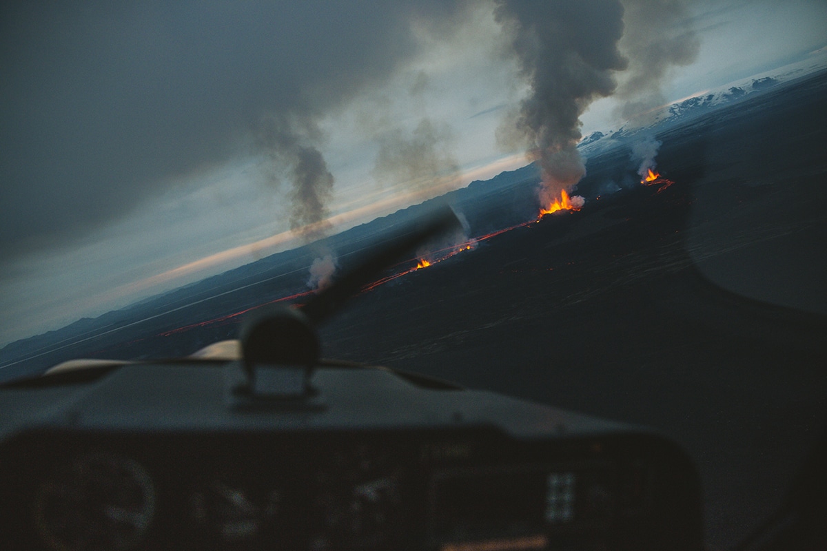
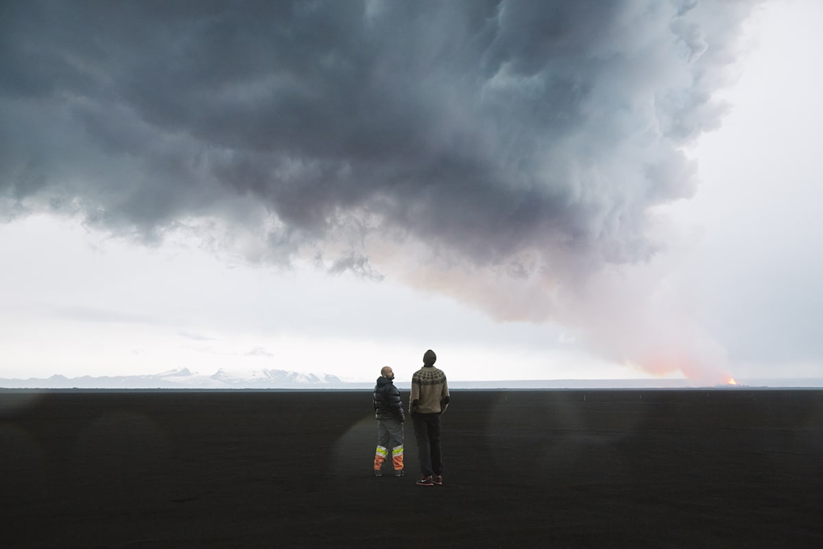
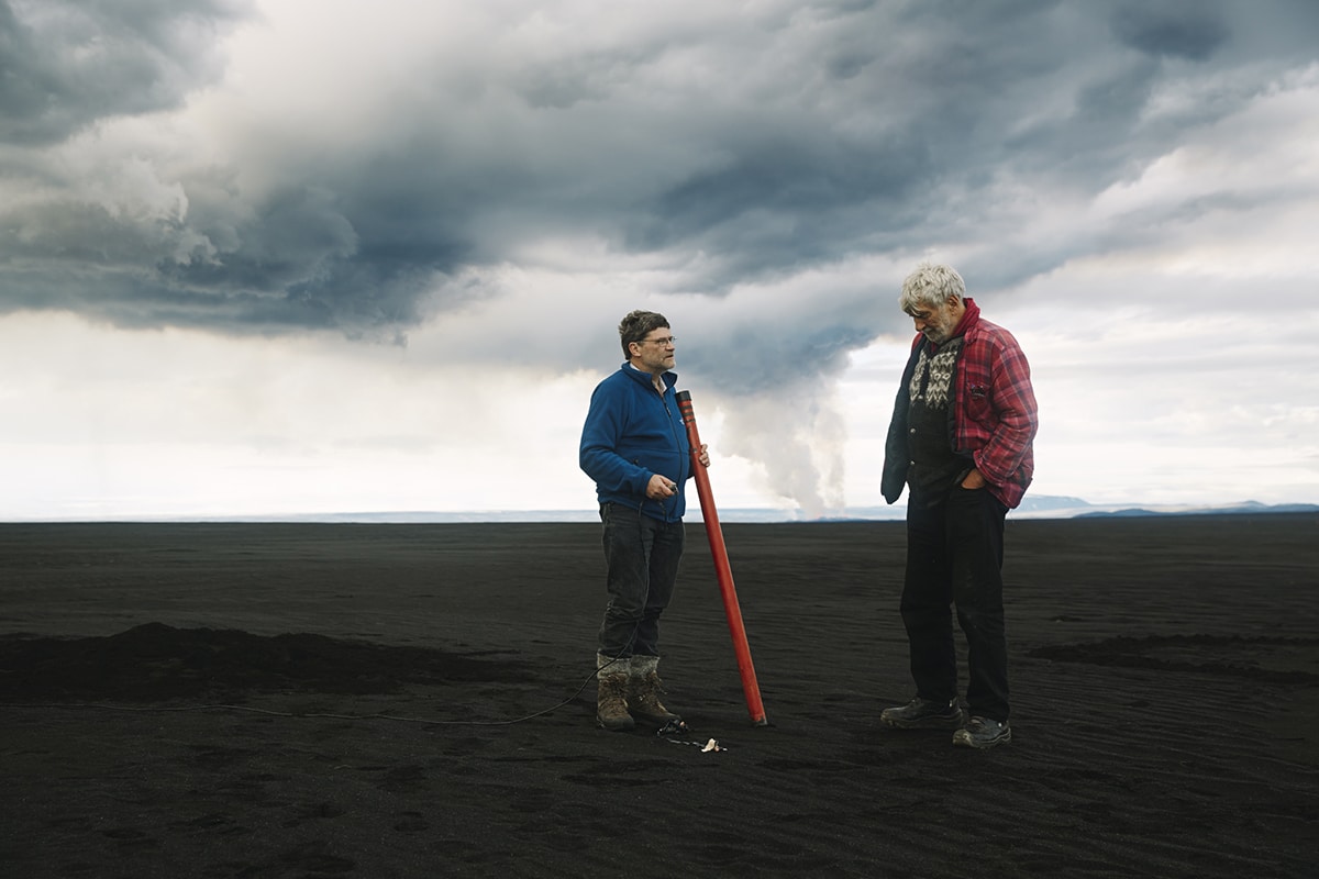
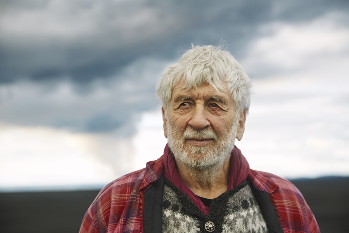
The resulting series of photographs document nature’s incredible fury from both land and air. Sigurðarson’s aerial views show red hot molten rock, blasts of lava, huge clouds of dust and gas, and an airplane dwarfed against the epic backdrop. On land, Sigurðarson photographed numerous scientists he met along the way, including renowned Seismologist Ragnar “Skjálfti” Stefánsson, who was conducting on-site research at the time.
Find more of Sigurðarson’s extraordinary work via his website and Instagram.
Icelandic photographer Axel Sigurðarson captured the spectacular volcanic eruption of Bárðarbunga, Holuhraun.
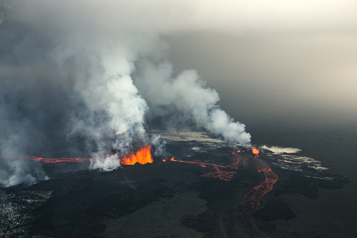
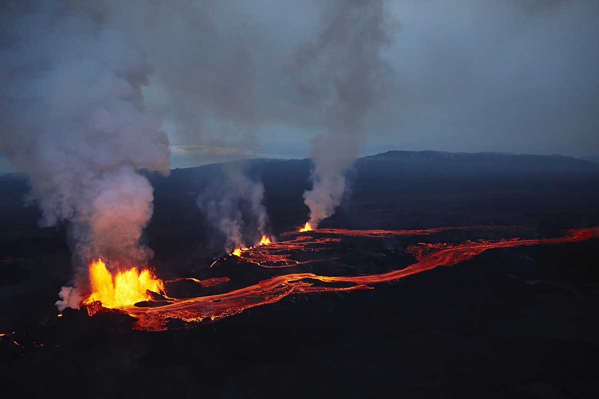
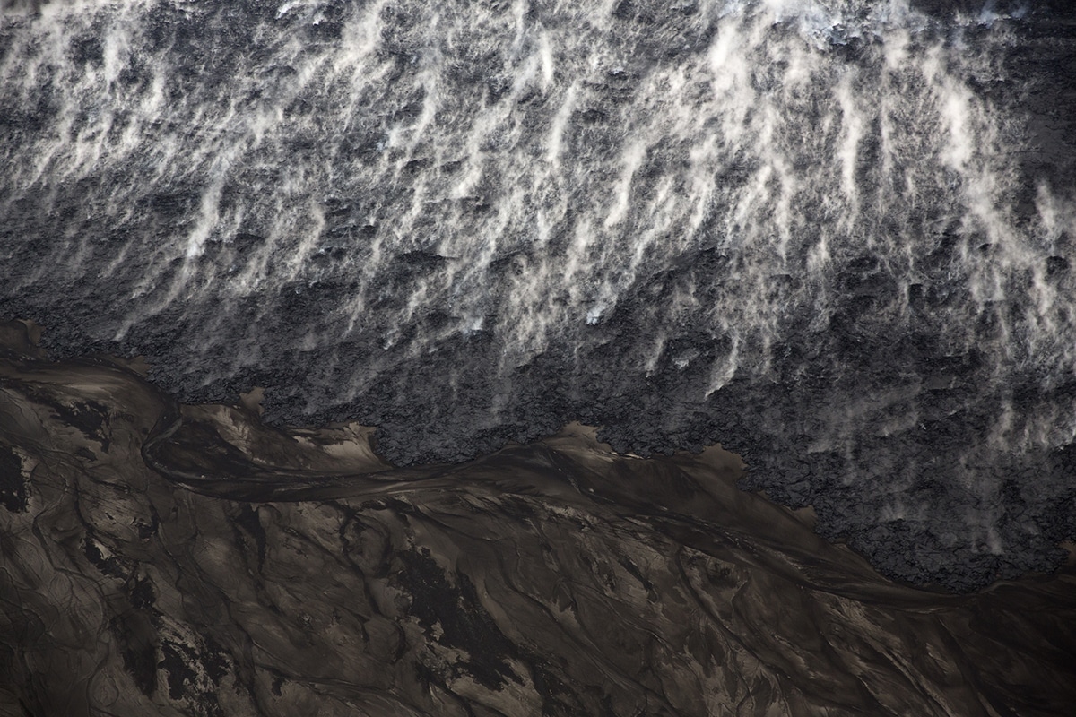
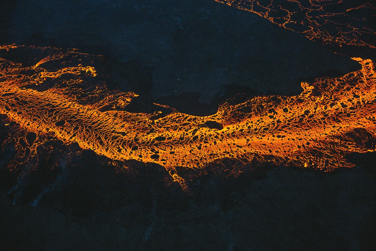
Sigurðarson’s aerial views document red hot molten rock, blasts of lava, and huge clouds of dust and gas.

On land, Sigurðarson also photographed numerous scientists he met along the way who were conducting on-site research at the time.
 Axel Sigurðarson: Website | Instagram | Behance
My Modern Met granted permission to use photos by Axel Sigurðarson.
Related Articles:
Cinematic Photos Captured in Naturally Dramatic and Diverse Landscapes of Iceland
Breathtaking Architectural Concept for a Cliffside Retreat in Iceland
Storybook Landscape Photos Celebrate the Enchanting Beauty of Iceland
Wanderlust-Inducing Images Capture Majestic Views of Iceland
Camera Drone Captures Gorgeous Aerial Shots of Iceland’s Diverse Terrain
